| Ride Stats |
|
Distance:
51.83 miles
|
Altitude Gain:
1,633 ft
|
Avg Speed:
17.30 mph
|
|
Route:
Freedom Park Providence Forge
|
Avg Grade: 0 %
|
Max Grade: 0 %
|
|
Max HR: 145 bpm
|
Avg HR: 125 bpm
|
Terrain: Road: Rolling
|
|
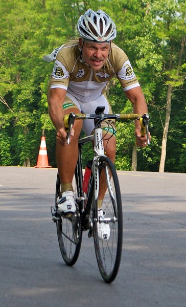
Bike: Look Blade RS 795 Iconic Ltd Road
|
Club: Schuyler County Cycling Club |
| Weather Conditions: Sunny 72 F SW wind @ 6 mph |
|
Legs weren't feeling it and debated whether to take a rest day or get out on the bike. Really need a rest day but weekend and after look like cold weather and rain so figured on making miles while the sun shines. Drove to Freedom Park to start my favorite ride in the area a fifty miler to the west to Providence and back in the hills above the Cap to Cap rail trail. The ride has a couple of early short climbs and then miles of rolling grade on mostly fine roads. First climb starts on a paved bike trail inside Freedom Park and is short and twisting and comes out on Jolly Pond Road. Wasn't sure how the body would react but felt good on the climb. Almost immediately are a descent and steep climb on the Cranston Mill Pond Road. Putting a little effort into the downhill really helps with the climbing out of the gully. Had good speed and felt good out of the saddle on the uphill and decided to push the pace for an hour and see how the legs responded. Heart rate refused to rise much above eighty percent but was putting out fairly good watts nonetheless. There aren't any real climbs for the remaining forty-five miles just open roads and gentle grades. Route occasionally goes out onto a couple or four lanes for a couple miles but goes back on secondaries whenever possible. There are large bodies of water scattered throughout the ride and the roads get funneled onto the few bridges. Ride is all big chainring and pushed it well for the first two hours. Seemed to lose my focus a bit after making the turn out of Providence but still enjoyed the riding. A few miles on the return segments were new pavement that always make for a better outing. After ten miles through forest and farmland the road drops back down to the Cap to Cap trail to use a bridge. The bridge is one of the major climbs in the area and is about a half mile long. The route turns off the trail onto the Brick Bat Road that is a pleasant tree lined climb back towards Freedom Park. Made fairly good time despite my initial resistance to riding today. Really enjoyed the outing and got it done before the ninety-degree heat set in. Hope one day to be able to open up the throttle and ride this course fast. Highly recommend the loop.
0 member views | 6 total views
report problem |
|
|
|
|